Satellite-based data for agricultural index insurance: a systematic quantitative literature review
 Tác giả: Thuy T. Nguyen, Shahbaz Mushtaq, Jarrod Kath, Thong Nguyen-Huy, Louis Reymondin
 Thể loại: Công nghệ thông tin
 Lượt xem: 273
 Từ khóa:
Chọn định dạng để tải về:
Lĩnh vực:


Satellite-based data for agricultural index insurance: a systematic quantitative literature review
Index-based insurance (IBI) is an effective tool for managing climate risk and promoting sustainable development. It provides payouts based on a measurable index. Remote sensing data obtained from satellites, planes, UAVs, or drones can be used to design index-based insurance products. However, the extent to which satellite-based data has been used for different crop types and geographical regions has not been systematically explored. To bridge this gap, a systematic quantitative literature review was conducted to examine the use of satellite-based datasets in designing index-based insurance products. The review analyzed 89 global studies on four major types of crops: cereals, pastures and forages, perennial crops, and others (i.e., vegetables, oilseed crops, fruits, nuts, etc.). The analysis revealed a rising interest of developing index-based insurance solutions utilizing satellite-based data, particularly after 2015.
Datasets from land surface Earth observation satellites were utilized in 91% of studies with satellite-based data, outnumbering those from weather satellites. The Normalized Difference Vegetation Index (NDVI) was the most prominent satellite-retrieved vegetation index, featured in 61.2% of studies utilizing satellite imagery, revealing its effectiveness at designing and developing IBI for various crops. It has also been found that satellite-based vegetation health indices outperform weather indices and reduce basis risk with higher-spatial-resolution data. Most studies have focused on cereal crops, with fewer studies focusing on perennial crops. Countries in Asia and Africa were the most interested regions. However, research has focused on specific countries and has not been adequately spread across different regions, especially developing countries. The review suggests that satellite-based datasets will become increasingly important in designing crop-index-based insurance products. This is due to their potential to reduce basis risk by providing high resolution with adequately long and consistent datasets for data-sparse environments. The review recommends using high-spatial- and high-temporal-resolution satellite datasets to further assess their capability to reduce basis risk.
Xem thêm
🔒 Tài liệu này yêu cầu đăng nhập để xem nội dung PDF.
Đăng nhập để xem tài liệuTài liệu khác cùng chủ đề
KHUNG THAM CHIẾU ĐÀO TẠO AI THEO NIST/ISO & MLOPS CHO CHUYỂN ĐỔI SỐ CÔNG – TỪ LỚP HỌC ĐẾN VẬN HÀNH: ĐỐI SÁNH CHƯƠNG TRÌNH VÀ KHUYẾN NGHỊ
Trần Minh
 Thể loại: Công nghệ thông tin
Lượt xem: 63
ỨNG DỤNG TRÍ TUỆ NHÂN TẠO TRONG CHĂM SÓC SỨC KHỎE
Nguyễn Văn Diễn, Nguyễn Thùy Trang
Thể loại: Công nghệ thông tin
Lượt xem: 87 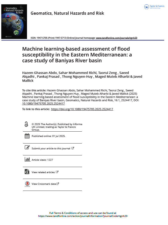
Machine learning-based assessment of flood susceptibility in the Eastern Mediterranean: a case study of Baniyas River basin
Hazem Ghassan Abdo, Sahar Mohammed Richia, Taorui Zeng, Saeed Alqadhid, Pankaj Prasad, Thong Nguyen-Huy, Maged Muteb Alharbihand, Javed Mallick
Thể loại: Công bố quốc tế
Lượt xem: 304 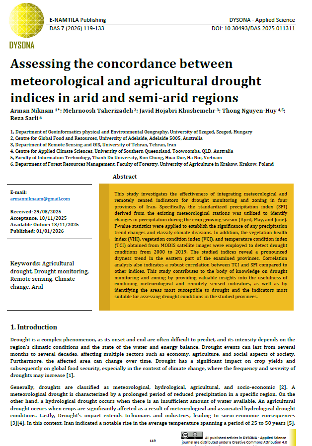
Assessing the concordance between meteorological and agricultural drought indices in arid and semi-arid regions
Arman Niknam, Mehrnoosh Taherizadeh, Javid Hojabri Khushemehr, Thong Nguyen-Huy, Reza Sarli
Thể loại: Công nghệ thông tin
Lượt xem: 236 
Spatio-temporal dynamics of vegetation and water bodies in the Lake Urmia Basin (1984–2022): an analysis using MODIS and Landsat data with new perspective
Javid Hojabri,Thong Nguyen-Huy
Thể loại: Công nghệ thông tin
Lượt xem: 270 
Modelling and Analysis of Magnetic Field Distribution Generated by a Magnetised Paraboloid
Nguyen Van Tai, Nguyen Thi Phuoc Van
Thể loại: Công nghệ thông tin
Lượt xem: 257 
Enhancement of wheat straw pellet quality for bioenergy through additive blending
Bidhan Nath, Guangnan Chen, Les Bowtell, Thong Nguyen-Huy
Thể loại: Công nghệ thông tin
Lượt xem: 335 
Novel deep hybrid model for electricity price prediction based on dual decomposition
Sujan Ghimire, Thong Nguyen-Huy, Ravinesh C. Deo, David Casillas-Pérez, A. A. Masrur Ahmed, Sancho Salcedo-Sanz
Thể loại: Công nghệ thông tin
Lượt xem: 268 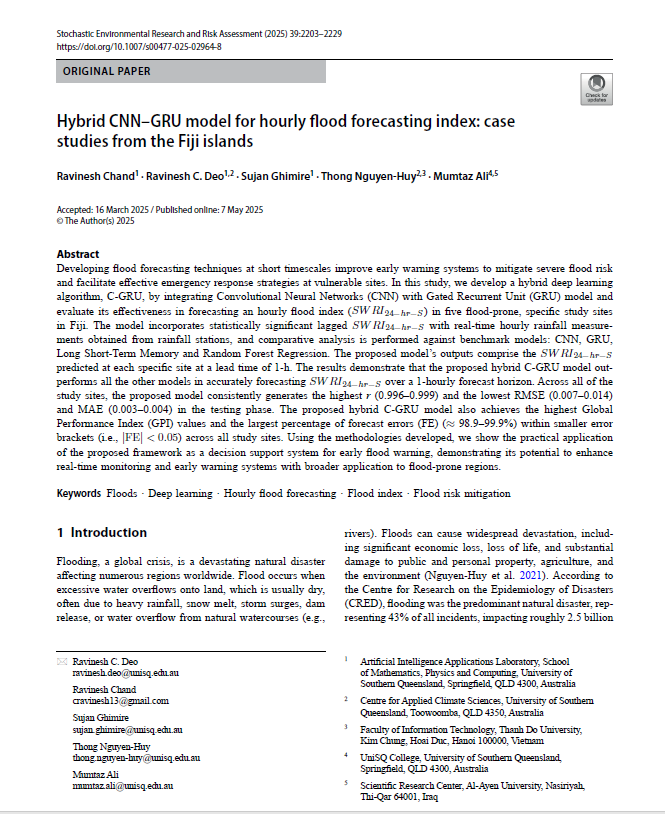
Hybrid CNN-GRU model for hourly flood forecasting index: case studies from the Fiji islands
Ravinesh Chand, Ravinesh C. Deo, Sujan Ghimire, Thong Nguyen-Huy, Mumtaz Ali
Thể loại: Công nghệ thông tin
Lượt xem: 320 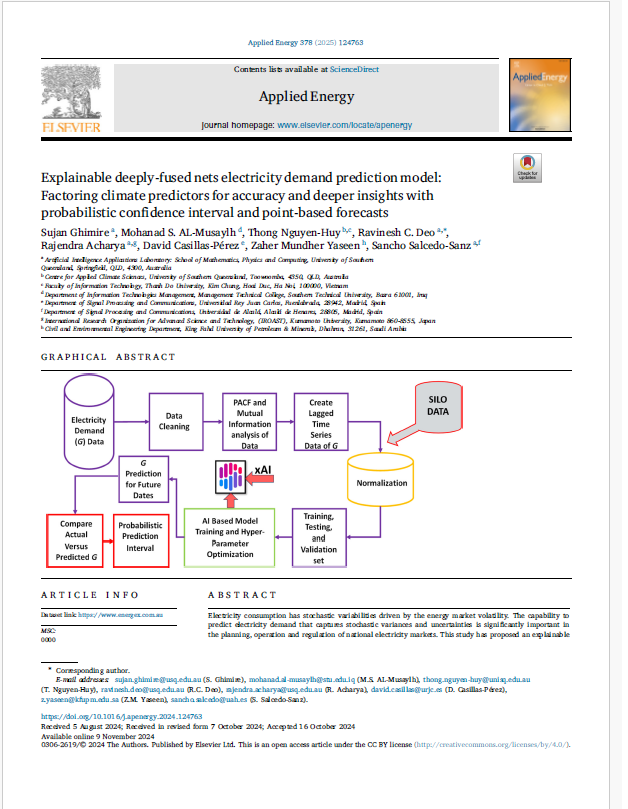
Explainable deeply-fused nets electricity demand prediction model: Factoring climate predictors for accuracy and deeper insights with probabilistic confidence interval and point-based forecasts
Sujan Ghimire, ohanad S. AL-Musaylhd, Thong Nguyen-Huy, Ravinesh C. Deoa, Rajendra Acharya, David Casillas-Pérez, Zaher Mundher Yaseen, Sancho Salcedo-Sanz
Thể loại: Công nghệ thông tin
Lượt xem: 225 
A pragmatic guide to systemd for Linux sysadmins
David Both
Thể loại: Sách mở
Lượt xem: 476 
Current & Emerging Computing Technology
Don Bentley
Thể loại: Công nghệ thông tin
Lượt xem: 485